
The landscape Italy uses to introduce itself
Three and a half million inhabitants, ten provinces and a fifth of Italy's Unesco sites.
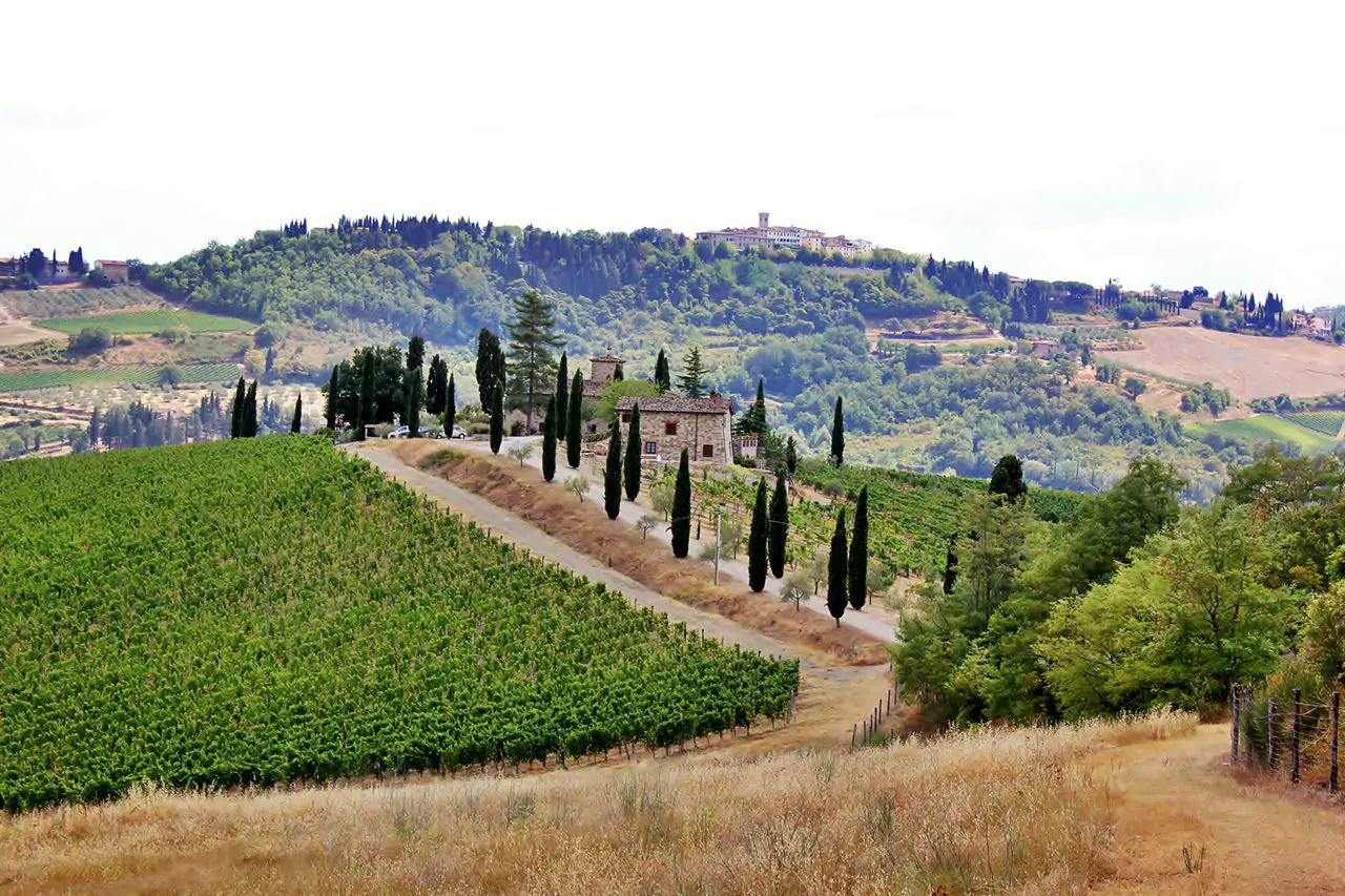
Tuscany is the region that invented a number of things that later became Italian: the language, the Renaissance, modern banking. But what everyone knows it for is the hill landscape of its centre, which is not natural but agricultural, built over centuries by sharecroppers who planted cypresses along the lanes and olives on the ridges.
How it is laid out
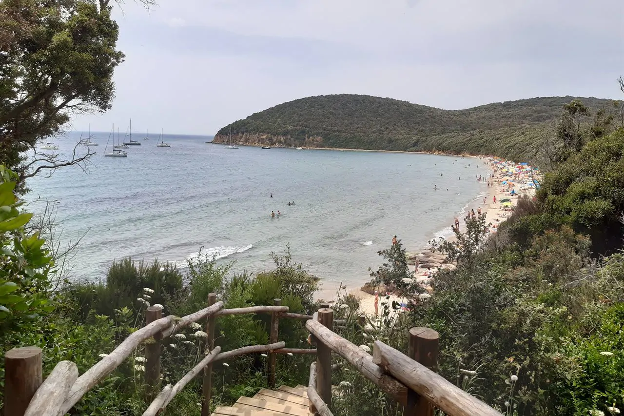
Two thirds of the territory is hill. To the north and east lie the Apennines, to the north-west the Apuan Alps with their marble quarries, and in between a system of valleys and basins: that of the Arno, which crosses Florence and Pisa, and those of the Maremma. The coast is long and mostly low, with pine woods behind the dunes, and off it lies the Tuscan archipelago, seven islands of which Elba is the largest.
Where the campsites are
The greatest density is in the province of Livorno, between Cecina, Marina di Bibbona, San Vincenzo and Baratti: large sites, in pine woods, with the beach in front. Next comes the Grosseto Maremma, from Follonica to Castiglione della Pescaia and the Argentario. In the Versilia and around Pisa there is another group, and on Elba about twenty.
This landscape is not nature: it is the work of ten generations of farmers.
Something one forgets while looking at the lines of cypresses
How to plan it
The region is compact: from the Livorno coast to Florence is an hour and a half, to Siena a little over an hour, to the Val d'Orcia two. You can keep a single base by the sea and do the cities as day trips, which is exactly what most people camping here do.
Summer on the coast is crowded in July and August, and in those months the campsites need booking months ahead. May, June and September give the same sea, and the art cities in May and October are far more bearable.